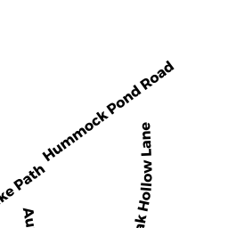
77 HUMMOCK POND RD
Owner Information
US BANK NATIONAL ASSC ETAL
1 MORTGAGE WAY
MT LAUREL, NJ 08054


Property Details
77 HUMMOCK POND RD is classified as a Single Family Residential (Ranch).
The primary structure on this property was built in 1961. There are 1,434ft2 of built area within this property. There is 1,312ft2 of residential/living space within this property.
77 HUMMOCK POND RD is valued at $1,136,800. The land is valued at $891,200 and the structures are valued at $245,600.
This property is in Zone R20. Confirm with local Zoning Board authorities to ensure there are no overlays or other easements on this property.
The most recent deed for 77 HUMMOCK POND RD is recorded at the local registrar in Book 1762, Page 268. 77 HUMMOCK POND RD was last sold on Wednesday, September 2, 2020 for $796,175.
Assessment data from fiscal year 2022.
Flood Data
According to the FEMA National Flood Hazard Layer, this property does not appear to be in a flood zone. It may also be in an area not yet reviewed. Nonetheless, confirm this information prior to taking any action.
To view the flood hazards around this property, create a FEMA "Firmette" Map of the area around 77 HUMMOCK POND RD.
Broadband Internet Providers
| Provider | Type | Bandwidth (mbps) | |
|---|---|---|---|
| HughesNet | Satellite | 25 | 3 |
| VSAT Systems, LLC. | Satellite | 2 | 1 |
| GCI Communication Corp. | Satellite | 0 | 0 |
| Comcast | Cable | 1000 | 35 |
| Verizon New England Inc. | DSL | 7 | 0 |
| Viasat Inc | Satellite | 35 | 3 |
Broadband service provider data from December 2020.
Adjacent Properties
- 87 HUMMOCK POND RD
Multiple Houses on one parcel owned by KELLY TERRY & IRWIN AVEEN TRST - 71 HUMMOCK POND RD
Single Family Residential owned by MCGRATH THOMAS EDWIN & DEBRA A - 25 MILLBROOK RD
Farm Buildings - barns, silo, utility shed, etc owned by MCGOWAN MARTIN - 14 BURNT SWAMP LN
Single Family Residential owned by BORCHERT CARL K TR ETAL